
 > Police >
POLICE Department
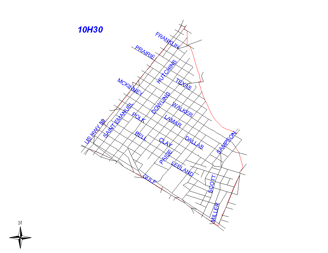
Crime Statistics for 10H30's Beat
Click on map for larger, more detailed image
Beat Description and Boundary:
The boundary begins at the Eastex Freeway (Highway 59) and the south side of Canal and follows Canal a few feeet to the MKTMP railroad tracks. Canal is the responsibility of 10H10's beat. The boundary follows the railroad tracks south to Sampson, and continues south on Sampson about a block to the HB&T railroad tracks. Sampson is the responsibility of 10H30. It turns south along the HB&T railroad tracks to Milby. The boundary continues south on Milby to the Gulf Freeway. Milby is the responsibility of 10H30. The boundary turns northwest on the Gulf Freeway to Eastex Freeway. The Gulf Freeway is the responsibility of 10H30. It turns northeast on the Eastex Freeway to the intersection with Canal. The Eastex Freeway is the responsibility of 1A10's beat.
Landmarks and Neighborhoods Within This Beat:
Near East End
ZIP Codes Within This Beat (see note below on ZIP codes and beats):
77002
77003
77004
77023