
 > Police >
POLICE Department
Crime Statistics for 10H50's Beat
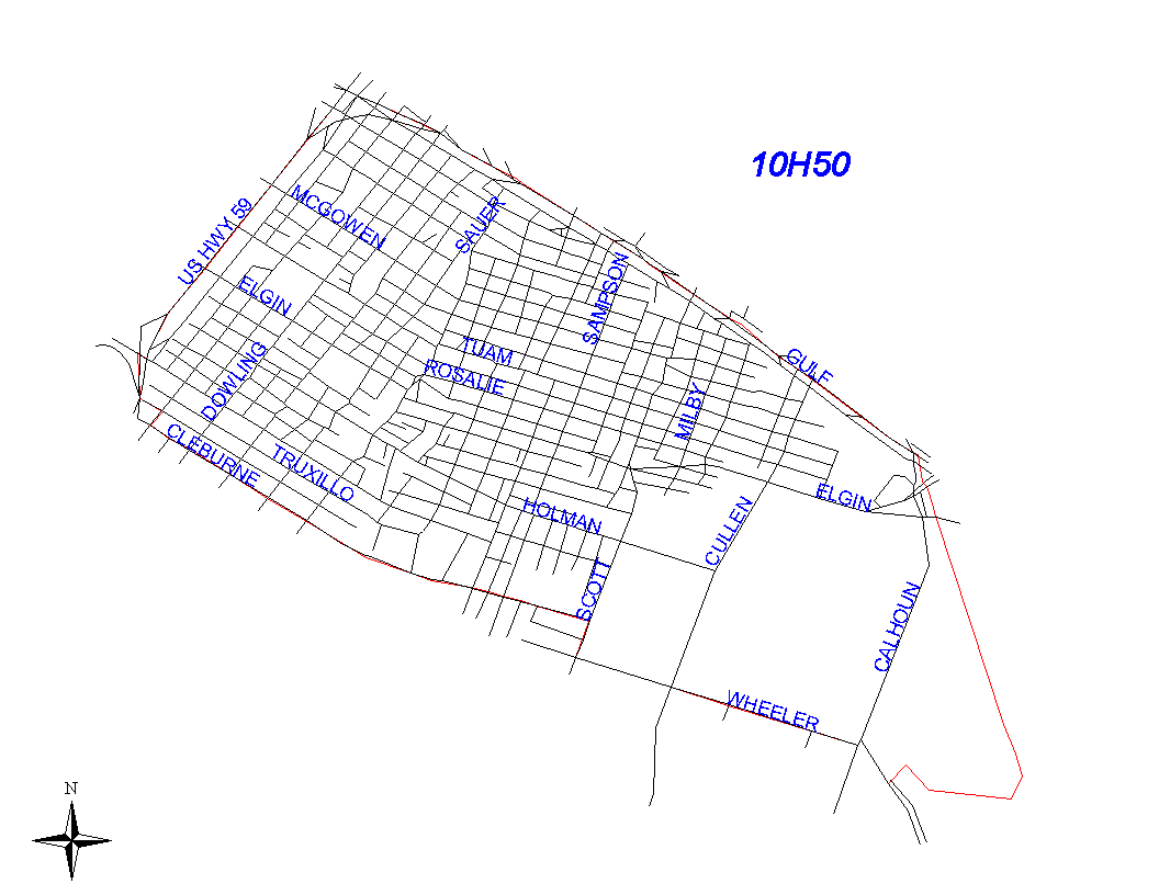
Click on map for larger, more detailed image
Beat Description and Boundary:
The boundary begins at the intersection of I-59 and I-45 and goes southeast on I-45 to HB&T railroad. I-45 is the responsibility of 10H20 and 10H30. The boundary follows the HB&T railroad to its intersection with Brays Bayou. It turns west along the Bayou to Martin Luther King Boulevard. It turns northwest along Martin Luther King which is in 10H50's beat to the intersection with Wheeler. At Wheeler, the boundary turns west and goes to Scott. It follows Scott two blocks north to Cleburne. Wheeler and Scott are the responsibility of 10H50. The boundary follows Cleburne to I-288. Cleburne is also the responsibility of 10H50. It turns north on I-288 to I-59 and continues north on I-59 to the intersection with I-45 which is where it begins. Highway 288 is the responsibility of 10H70; I-59 is the responsibility of 10H50.
Landmarks and Neighborhoods Within This Beat:
University of Houston area
ZIP Codes Within This Beat (see note below on ZIP codes and beats):
77003
77004
77021