
 > Police >
POLICE Department
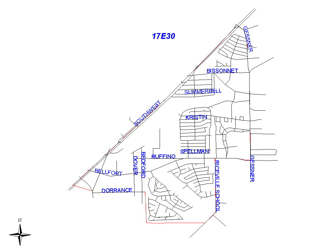
Crime Statistics for 17E30's Beat
Click on map for larger, more detailed image
Beat Description and Boundary:
The boundary begins at the intersection of the Southwest Freeway (I-59) and Gessner and goes south along the east lot lines of Gessner to West Bellfort. It turns west along south lot lines of West Bellfort and goes to Riceville School Road. The boundary turns south along the east lot lines of Riceville School Road and goes to the Houston City Limits. The beat boundary follows the city limits boundary west along West Airport Boulevard to Jebbia Road, north on Bedford Road to Dorance, and west along Dorance to the Southwest Freeway. At the Southwest Freeway, the city limits continue west while the beat boundary turns northeast along the south side of the Southwest Freeway to the intersection with Gessner, which is where it begins.
Landmarks and Neighborhoods Within This Beat:
Braeburn Valley West, Glenshire
ZIP Codes Within This Beat (see note below on ZIP codes and beats):
77031
77071
77074
77477
77489