Crime Statistics for 18F10's Beat


Click on map for larger, more detailed image

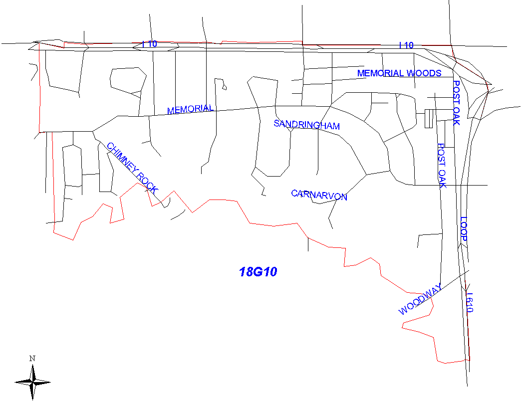
Beat Description and Boundary:

The boundary begins at the intersection of the Katy Freeway (I-10) and the Hunters Creek City Limits and goes east on the Katy Freeway to the intersection with the 610 Loop West. The Katy Freeway is the responsibility of 18G10. The boundary turns south on the Loop and goes to where the Loop crosses the Buffalo Bayou. The Loop is the responsibility of 18G10. The boundary turns west on the Buffalo Bayou and goes to the Hunters Creek City Limits. It turns north and follows the city limits to Katy Freeway where it begins.

Landmarks and Neighborhoods Within This Beat:

Saddlebrook, Bayou Woods, Sherwood Forest

ZIP Codes Within This Beat (see note below on ZIP codes and beats):

77024
77056
77057

Crime Statistics For This Beat:

2008
August
September
October
November
December


2007


2006


2005


2004
Nov - Not Avail
Dec - Not Avail

Notes:

  • The Houston Police Department does not recommend raw data comparisons be made between police beats. This web site does not provide a comparative analysis of the various beats.
  • The data presented in these reports is NOT the official Crime Statistics for the Houston Police Department. This data is being provided prior to the release of the Department's Official Monthly Uniform Crime Report. For information on requesting UCR data and other reports, please see our Public Information page.
  • If you plan to print out the crime statistic tables, for best results, choose the "landscape" orientation from the properties menu in your printer dialogue box.
  • ZIP code boundaries and police beat boundaries do not correspond. ZIP code boundaries may overlap beat boundaries and there may be several beats within several ZIP codes and vice versa. ZIP codes are provided only as a reference.
  • Each month's statistics are posted by the 25th of the following month.