
 > Police >
POLICE Department
Crime Statistics for 18F30's Beat
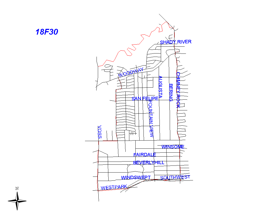
Click on map for larger, more detailed image
Beat Description and Boundary:
The boundary begins at the intersection of the Hunters Creek City Limits (at South Voss) and Buffalo Bayou and follows the city limits of Houston and Hunters Creek east along the Bayou to Chimney Rock. The beat boundary turns south and goes along the east lot lines of Chimney Rock to Green Tree. Green Tree is a circular street that becomes Pine Forest and turns west to Chimney Rock. The beat boundary follows the north, east, and south lot lines of Green Tree and Pine Forest to Chimney Rock. All addresses on these streets are the responsibility of 18G30. The beat boundary continues south along the east lot lines of Chimney Rock to the Southwest Freeway (I-59.) The boundary turns west along the Southwest Freeway and goes to the SPRR railroad tracks that run parallel to Westpark. The Southwest Freeway is the responsibility of 18G30's beat. At Westheimer, the beat boundary turns east and goes to Briargrove. Westheimer is the responsibility of 18G40's beat. It turns north on Briargrove and goes to Valley Forge. It turns east on Valley Forge to Clearbrook. It continues north on Clearbrook to Woodway. It turns west on Woodway to the Hunters Creek city limits and follows the city limits north along South Voss to Buffalo Bayou, which is where it begins. Briargrove, Valley Forge, Clearbrook, and Woodway are the responsibility of 18G30.
Landmarks and Neighborhoods Within This Beat:
The Richmond Strip, Briargrove, Post Oak Estates, Westhaven
ZIP Codes Within This Beat (see note below on ZIP codes and beats):
77024
77056
77057