
 > Police >
POLICE Department
Crime Statistics for 19G20's Beat
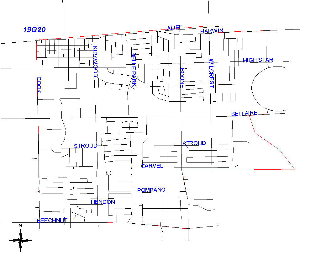
Click on map for larger, more detailed image
Beat Description and Boundary:
The boundary begins at the intersection of Cook and the SPRR railroad that runs parallel with Alief Clodine. The boundary goes east along the railroad to Wilcrest. It turns south along the east lot lines of wilcrest and goes to Harwin. It turns east along the north lot lines of Harwin and goes to a drainage that runs parallel to Linnhaven on the east side. It turns south and follows the drainage ditch to the Brays Bayou. It continues south on the Bayou to the drainage ditch that runs parallel to Sela on the north side. It follows this drainage ditch to the east lot line of Imperial Point Subdivision at 10600 Block of Sela south, south of east line of Imperial Point Subdivision to the south lot line of Hazen, west on the south lot lines of Hasen to the west lot lines of Boone Road. The boundary turns south along the west lot lines of Boone Road to Beechnut. The boundary follows the south lot lines of Beechnut to Cook Road. It turns north on Cook Road and goes along the east lot lines to the SPRR railroad, which is where it begins.
Landmarks and Neighborhoods Within This Beat:
Catalina Square, Bellaire West, Imperial Point
ZIP Codes Within This Beat (see note below on ZIP codes and beats):
77042
77072
77082