
 > Police >
POLICE Department
Crime Statistics for 19G30's Beat
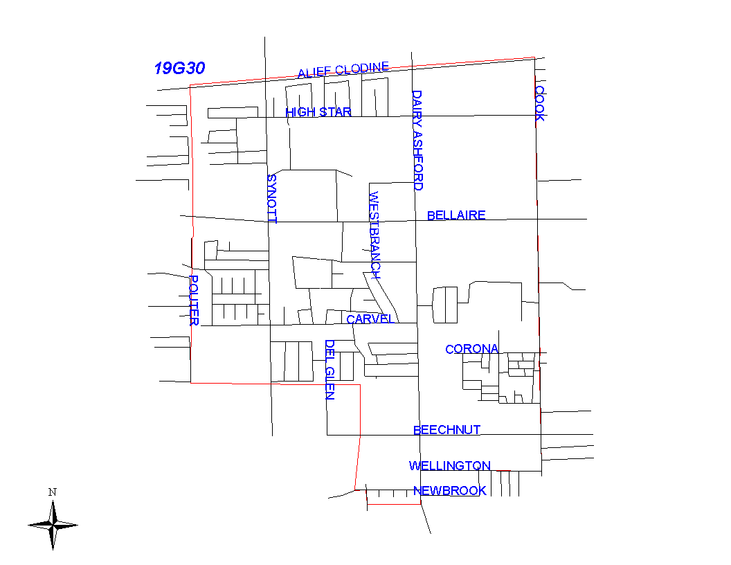
Click on map for larger, more detailed image
Beat Description and Boundary:
The boundary begins at the Houston City Limits about a quarter mile west of Synott on the SPRR railroad tracks and follows the railroad tracks east to Cook Road. The boundary turns south on Cook Road and goes along the east lot lines to Wellington. It turns west along the south lot lines of Wellington to Dairy Ashford. It turns south along the east lot lines on Dairy Ashford to the drainage ditch between Newbrook and Lima. It turns west along the drainage ditch to the Houston city limits. The beat boundary turns north along the city limits and goes to the SPRR railroad tracks, which is where it begins.
Landmarks and Neighborhoods Within This Beat:
Rodeo Square, Wildflower Green, Braewood Glen
ZIP Codes Within This Beat (see note below on ZIP codes and beats):
77072
77082
77083