
 > Police >
POLICE Department
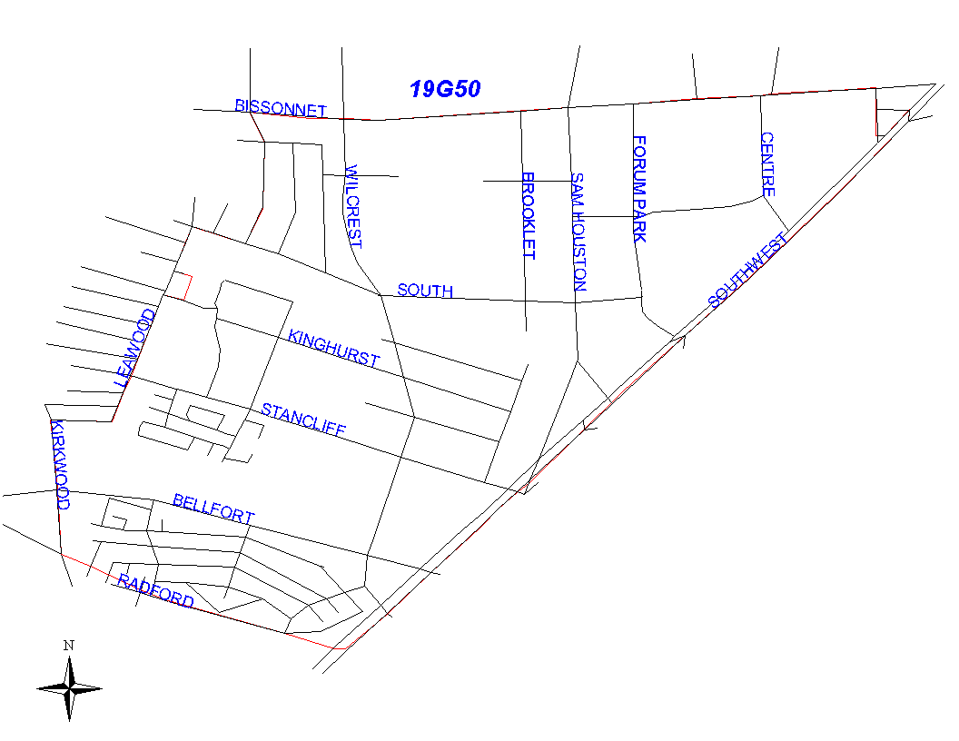
Crime Statistics for 19G50's Beat
Click on map for larger, more detailed image
Beat Description and Boundary:
The boundary begins at the intersection of Boone Road and Bissonnet and goes east along the north lot lines of Bissonnet to Plainfield. It turns south along the west lot lines of Plainfield to the Southwest Freeway (I-59.) It continues southwest along the Southwest Freeway to the Houston City Limits. The freeway is the responsibility of 19G50. The beat boundary follows the city limits west to South Kirkwood. It turns north along the east lot lines of South Kirkwood to Brookedge. It turns east on Brookedge to Leawood. It goes north on Leawood to South Drive. It turns east on South Drive to Boone Road. Brookedge, Leawood, and South Drive are all the responsibility of 19G40. The boundary continues north along the west lot lines of Boone Road to Bissonnet, which is where it begins.
Landmarks and Neighborhoods Within This Beat:
Forum Park, Stancliff, Southwest Park
ZIP Codes Within This Beat (see note below on ZIP codes and beats):
77031
77036
77074
77099
77477