
 > Police >
POLICE Department
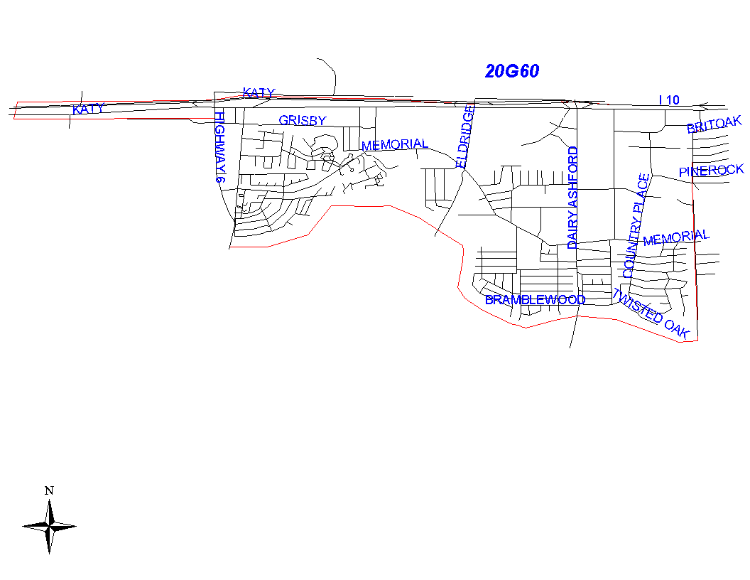
Crime Statistics for 20G60's Beat
Click on map for larger, more detailed image
Beat Description and Boundary:
The boundary begins where the Houston City Limits turn north off of the MKT railroad tracks just north of the Katy Freeway and follows the railroad tracks east from the city limits to Carlingford. The boundary turns south along the west lot lines of Carlingford and goes to Pershire. It goes southeast on Pershire to Bateswood and continues straight south on Bateswood to Memorial Drive. It turns west on Memorial Drive and goes to Rancho Bauer. It continues south on Rancho Bauer to the Buffalo Bayou. Addresses on both sides of Carlingford, Pershire, Bateswood, Memorial Drive, and Rancho Bauer are the responsibility of 20G50. The boundary turns west along the Buffalo Bayou. Just west of Dairy Ashford, the city limits follow the Buffalo Bayou to Highway 6, where they turn north and south around Barker Reservoir. The beat boundary follows the city limits to the reservoir and then continues along the Buffalo Bayou to Obrien Road. It runs north on Obrien to the city limits. Obrien is the responsibility of 20G60. It turns east as the city limits go east along the Katy Freeway. It follows the city limits until they turn north off of the MKT railroad, which is the point at which the beat boundary begins. This segment of the Katy Freeway, which is in the city limits, is the responsibility of 20G60. Although the beat includes a portion of Barker Reservoir, the activities of the field officers will be concentrated east of Addicks Howell Road.
Landmarks and Neighborhoods Within This Beat:
Barkers Landing, Fleetwood, Thornwood, Darrel Tully Stadium
ZIP Codes Within This Beat (see note below on ZIP codes and beats):
77043
77077
77079
77094
77449
77450