Crime Statistics for 2A40's Beat


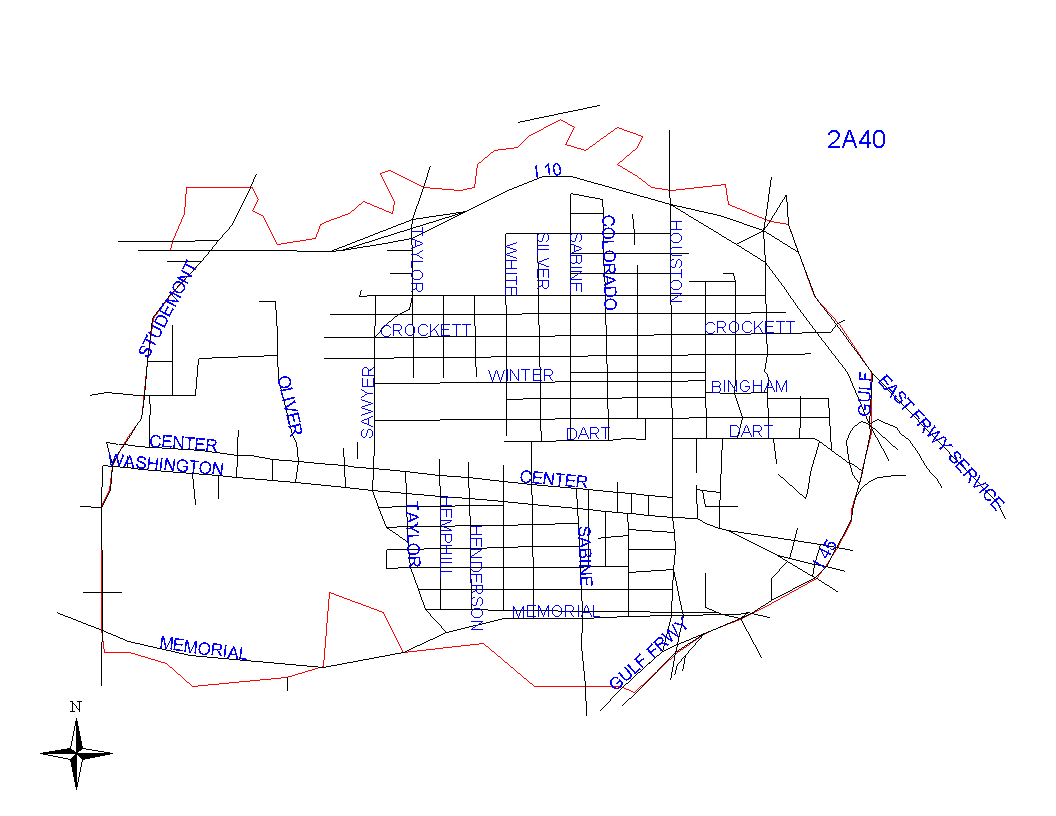
Click on map for larger, more detailed image

Beat Description and Boundary:

The boundary begins at the intersection of I-10 and the White Oak Bayou and goes east along the middle of the Bayou to the intersection with I-10 at about I-45 where I-45 and I-10 merges. The boundary goes south on I-45 to the intersection of I-45 and the Buffalo Bayou. It goes west along the middle of Buffalo Bayou to Studemont and turns north on the Studemont to I-10. Addresses on both sides of Studemont are in the jurisdiction of 2A50's beat. At I-10, the boundary turns west a few feet to the intersection with the White Oak Bayou. I-10 is the responsibility of 2A40.

Landmarks and Neighborhoods Within This Beat:

Old Sixth Ward, First Ward

ZIP Codes Within This Beat (see note below on ZIP codes and beats):

77002
77007
77009
77019

Crime Statistics For This Beat:

2008
November
December


2007


2006


2005


2004
Nov - Not Avail
Dec - Not Avail

Notes:

  • The Houston Police Department does not recommend raw data comparisons be made between police beats. This web site does not provide a comparative analysis of the various beats.
  • The data presented in these reports is NOT the official Crime Statistics for the Houston Police Department. This data is being provided prior to the release of the Department's Official Monthly Uniform Crime Report. For information on requesting UCR data and other reports, please see our Public Information page.
  • If you plan to print out the crime statistic tables, for best results, choose the "landscape" orientation from the properties menu in your printer dialogue box.
  • ZIP code boundaries and police beat boundaries do not correspond. ZIP code boundaries may overlap beat boundaries and there may be several beats within several ZIP codes and vice versa. ZIP codes are provided only as a reference.
  • Each month's statistics are posted by the 25th of the following month.