Crime Statistics for 3B50's Beat


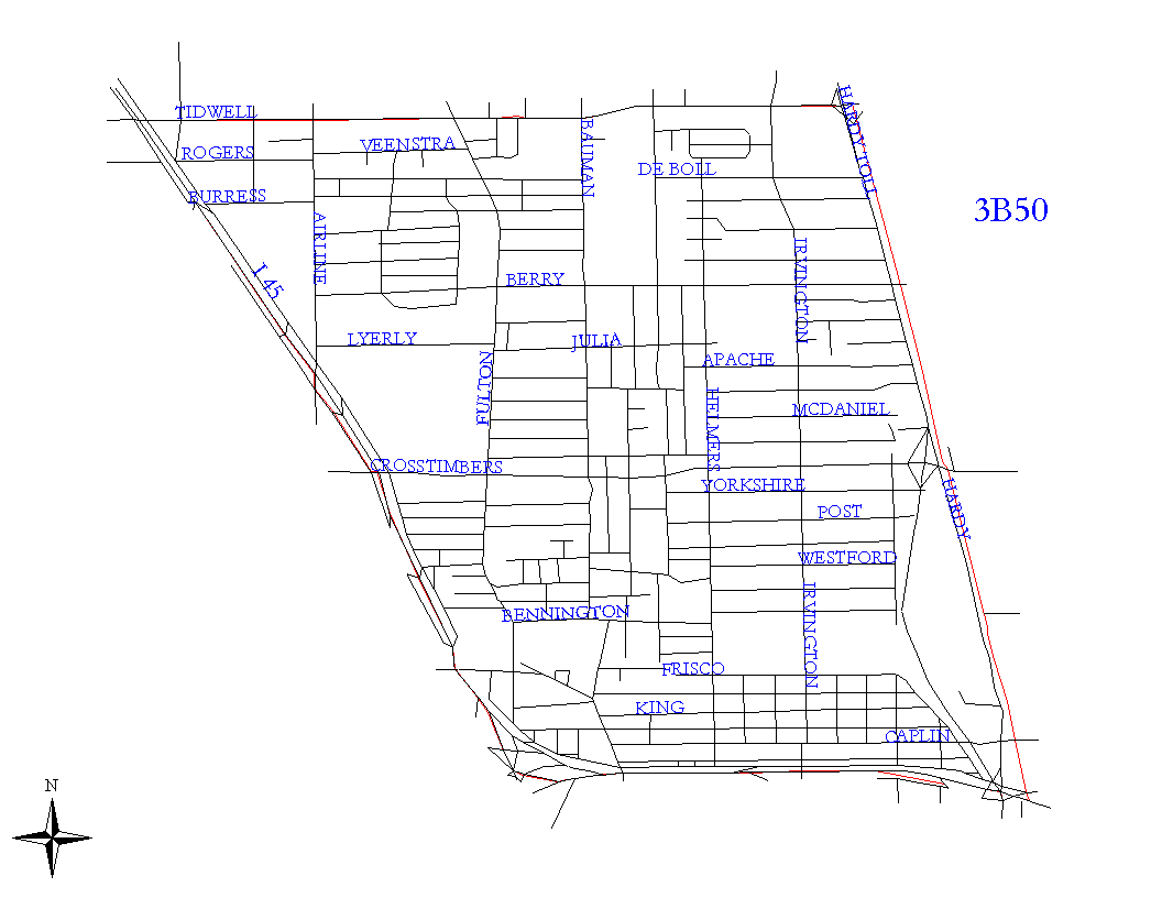
Click on map for larger, more detailed image

Beat Description and Boundary:

The boundary begins at the intersection of I-45 and Tidwell and goes east along the south lot lines of Tidwell to the M.P.R.R. railroad tracks between East and West Hardy. It follows these railroad tracks to the 610 Loop North. It goes west onthe Loop to I-45. The Loop is the responsibility of 3B50. The boundary then turns north on I-45 to Tidwell, which is where it begins. I-45 is the responsibility of 3B50.

Landmarks and Neighborhoods Within This Beat:

Northline Mall, Stratton Place, Oakwood, Colonial Gardens, Lindale, Junction City

ZIP Codes Within This Beat (see note below on ZIP codes and beats):

77009
77022

Crime Statistics For This Beat:

2008
November
December


2007


2006


2005


2004
Nov - Not Avail
Dec - Not Avail

Notes:

  • The Houston Police Department does not recommend raw data comparisons be made between police beats. This web site does not provide a comparative analysis of the various beats.
  • The data presented in these reports is NOT the official Crime Statistics for the Houston Police Department. This data is being provided prior to the release of the Department's Official Monthly Uniform Crime Report. For information on requesting UCR data and other reports, please see our Public Information page.
  • If you plan to print out the crime statistic tables, for best results, choose the "landscape" orientation from the properties menu in your printer dialogue box.
  • ZIP code boundaries and police beat boundaries do not correspond. ZIP code boundaries may overlap beat boundaries and there may be several beats within several ZIP codes and vice versa. ZIP codes are provided only as a reference.
  • Each month's statistics are posted by the 25th of the following month.