
 > Police >
POLICE Department
Crime Statistics for 7C30's Beat
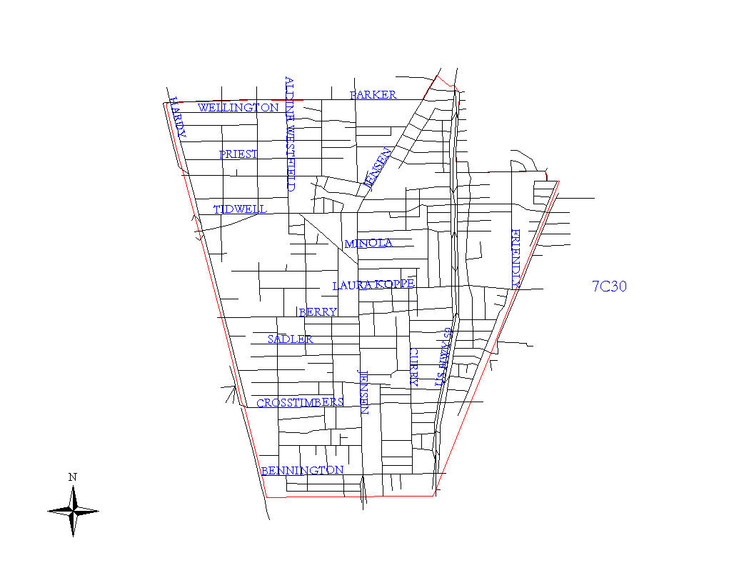
Click on map for larger, more detailed image
Beat Description and Boundary:
The boundary begins at the MPRR railroad tracks between East and West Hardy and Parker Road and goes east along the south lot lines of Parker Road to Jensen Drive. It goes northeast along the northwest lot lines of Jensen Drive to Halls Bayou to Eastex Freeway. It follows the Eastex Freeway to Kinkaid Road. The Eastex Freeway is the responsibility of 7C30's beat. The boundary turns east along the southern lot lines of Kinkaid Road to Pettibone; it turns south on the east lot lines of Wyte to the SPRR railroad. The boundary turns southwest along the railroad tracks to the intersection with the HB&T railroad tracks between Lynnfield and Creston Drive. The boundary turns west along the HB&T railroad tracks and goes to the intersection with the MPRR railroad tracks between East and West Hardy. It turns north along these tracks to the intersection with Parker Road, which is where it begins.
Landmarks and Neighborhoods Within This Beat:
Camden Woods, Archers Acres, Croyden Gardens
ZIP Codes Within This Beat (see note below on ZIP codes and beats):
77016
77022
77026
77076
77093