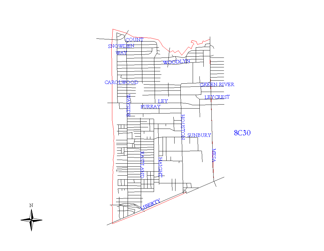
Crime Statistics for 8C30's Beat


Click on map for larger, more detailed image

Beat Description and Boundary:

The boundary begins at the intersection of the HB&T railroad and Halls Bayou and goes east on Halls Bayou to the intersection of the Bayou with FM 527 (also called East Houston and Mesa Road.) It turns south on the west side of FM 527 and goes to SPRR railroad tracks that run parallel to Liberty Road. It turns southwest along Libery Road and goes to the HB&T railroad tracks. It turns north and follows the HB&T railroad tracks to the east side of Settegast Railroad Yards and continues on to the intersection with Halls Bayou, which is where it begins.

Landmarks and Neighborhoods Within This Beat:

Parkhurst, East Houston, Clairmont Place

ZIP Codes Within This Beat (see note below on ZIP codes and beats):

77013
77028
77029

Crime Statistics For This Beat:

2008
November
December


2007


2006


2005


2004
Nov - Not Avail
Dec - Not Avail

Notes:

  • The Houston Police Department does not recommend raw data comparisons be made between police beats. This web site does not provide a comparative analysis of the various beats.
  • The data presented in these reports is NOT the official Crime Statistics for the Houston Police Department. This data is being provided prior to the release of the Department's Official Monthly Uniform Crime Report. For information on requesting UCR data and other reports, please see our Public Information page.
  • If you plan to print out the crime statistic tables, for best results, choose the "landscape" orientation from the properties menu in your printer dialogue box.
  • ZIP code boundaries and police beat boundaries do not correspond. ZIP code boundaries may overlap beat boundaries and there may be several beats within several ZIP codes and vice versa. ZIP codes are provided only as a reference.
  • Each month's statistics are posted by the 25th of the following month.