
 > Police >
POLICE Department
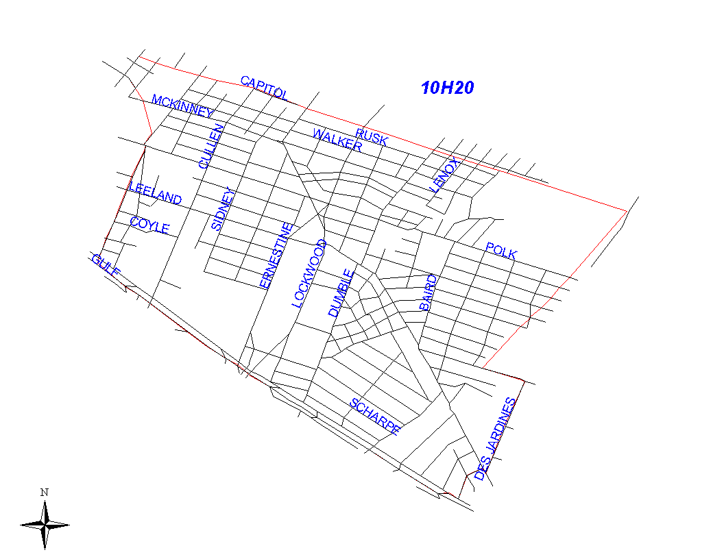
Crime Statistics for 10H20's Beat
Click on map for larger, more detailed image
Beat Description and Boundary:
The boundary begins at the intersection of the MKTMP railroad and Sampson Street and follows the railroad east to the intersection with the HB&T railroad. The boundary turns southwest along the HB&T railroad to Lawndale. The boundary turns southeast on Lawndale and goes about a quarter mile to Des Jardines. Lawndale is the responsibility of 10H20. The boundary continues southwest along the northwest lot lines of Des Jardines to the Gulf Freeway. Des Jardines is the responsibility of 11D10. The boundary turns northwest on the Gulf Freeway to the HB&T railroad. This segment of the Gulf Freeway is the responsibility of 10H20. The boundary follows Milby north to the intersection with the HB&T railroad. It follows the railroad to Sampson where it turns north to the intersection with the MKTMP railroad track, where it begins. Milby and Sampson are the responsibility of 10H30's beat.
Landmarks and Neighborhoods Within This Beat:
Eastwood, Broadmoor
ZIP Codes Within This Beat (see note below on ZIP codes and beats):
77003
77004
77011
77023