
 > Police >
POLICE Department
Crime Statistics for 15E30's Beat
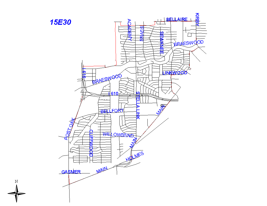
Click on map for larger, more detailed image
Beat Description and Boundary:
The boundary begins at the intersection of the 610 Loop West and the Bellaire City Limits at Beechnut and follows the city limits east along Beechnut to the SPRR railroad tracks, north along the tracks to Bellaire Boulevard, and east along Bellaire Boulevard to Southside Place City Limits, then south, east, and north following Southside Place City Limits to West University City Limits at Bellaire Boulevard (to exclude the Shell Research - Grammercy), then east on Bellaire Boulevard to Kirby. At Kirby, the beat boundary turns south and goes along the east lot lines to Braes Bayou. It follows the bayou to Lorrie. It turns south along the east lot lines of Lorrie and goes to Bluegate Court. It goes east, south, and west around the north, east, and south lot lines of Lorrie and Linkwood to Buffalo Speedway. It also takes in the Cul De Sac southeast off Lorrie. The beat boundary continues south along the east lot lines of Buffalo Speedway to South Main. It goes southwest along the southeast lot lines of South Main to South Post Oak. The boundary turns nroth along the east lot lines of South Post Oak to the 610 Loop West. It continues north along the east feeder road of the Loop to the intersection of the 610 Loop West and Bellaire City Limits, which is where it begins.
Landmarks and Neighborhoods Within This Beat:
Meyer Park, Post Oak Manor, Westwood, Willow Bend, Linkwood
ZIP Codes Within This Beat (see note below on ZIP codes and beats):
77025
77030
77035
77045
77096
77401