
 > Police >
POLICE Department
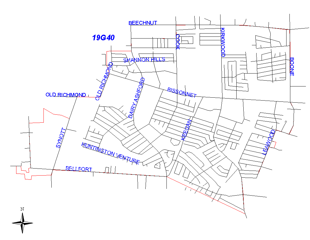
Crime Statistics for 19G40's Beat
Click on map for larger, more detailed image
Beat Description and Boundary:
The boundary begins at the intersection of the Houston City Limits that run along Brookwulf and the drainage between Newbrook and Lima. It goes east along the drainage ditch to Dairy Ashford. It turns north on Dairy Ashford to Wellington. Dairy Ashford is the responsibility of 19G30. The boundary turns east along the south lot lines of Wellington to Cook Road. It turns north along the east lot lines of Cook Road to Beechnut. It continues east along the south lot lines of Beechnut to Boone Road. It turns south along the west lot lines of Boone Road to South Drive. It turns west along the south lot lines of South Drive to Leawood. It follows the east lot lines of Leawood south to Brookedge. It follows the south lot lines Brookedge west to South Kirkwood. It turns south on the east lot lines of South Kirkwood and goes to the Houston City Limits along West Bellfort. It follows the city limits west to Belknap. West Bellfort is in 19G40's beat. The beat boundary continues to follow the city limits north to the drainage ditch between Newbrook and Lima, which is where it begins.
Landmarks and Neighborhoods Within This Beat:
Huntington Village, Wellington Park, Leawood, Keegans Glen
ZIP Codes Within This Beat (see note below on ZIP codes and beats):
77072
77083
77099
77477
77478