
 > Police >
POLICE Department
Crime Statistics for 20G40's Beat
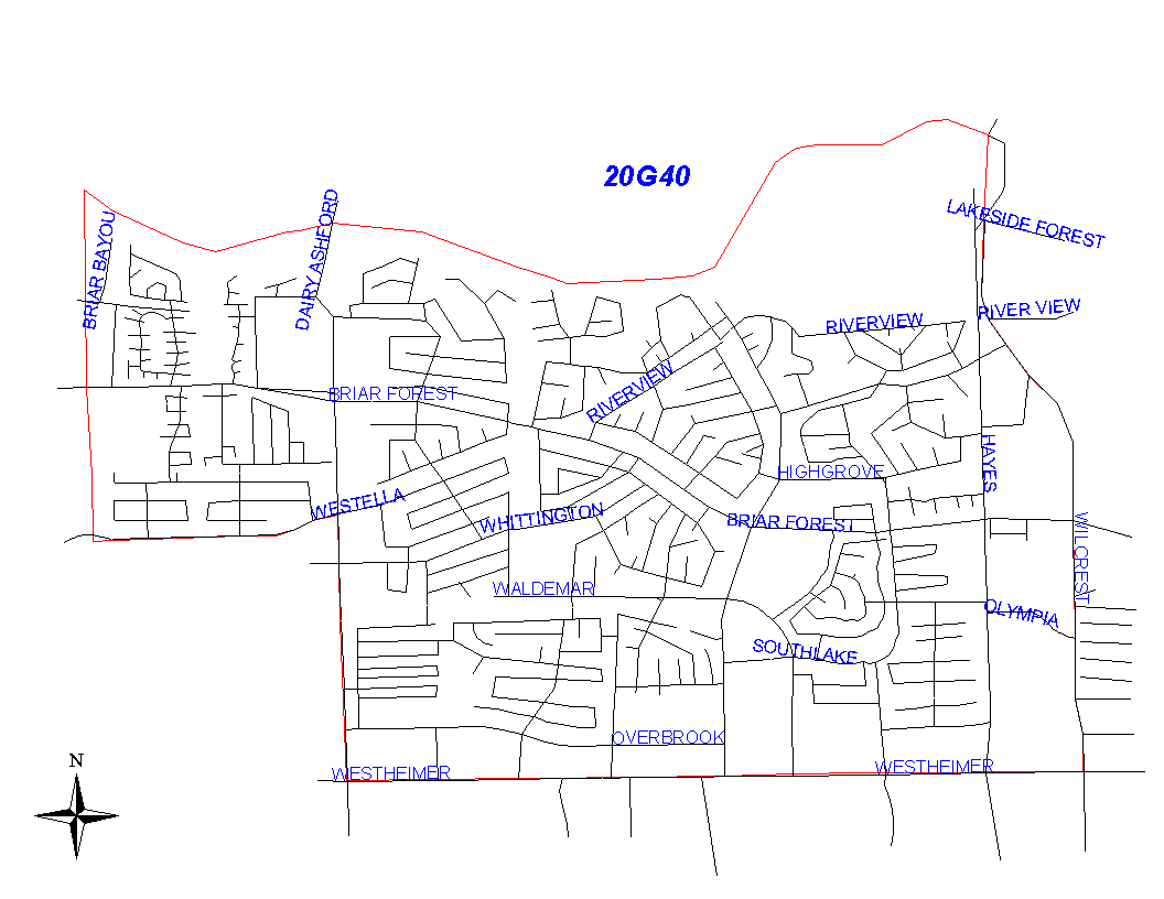
Click on map for larger, more detailed image
Beat Description and Boundary:
The boundary begins at the Houston City Limits at the Buffalo Bayou on the west side of the city and goes east along the bayou to Wilcrest. It turns south along the west lot lines of Wilcrest and goes to Westheimer. The boundary turns west and follows the north lot lines of Westheimer to Dairy Ashford. At Dairy Ashford, the boundary turns north to West Ella. Dairy Ashford is the responsibility of 20G40's beat. It turns west on West Ella and goes to the Houston city limits. West Ella is the responsibility of 20G40's beat. The boundary turns north along the city limits and goes to the crossing of the Buffalo Bayou, which is where it begins.
Landmarks and Neighborhoods Within This Beat:
Lakeview Forest, Lakeside Place, Ashford Village, Southlake
ZIP Codes Within This Beat (see note below on ZIP codes and beats):
77042
77077
77079