
 > Police >
POLICE Department
Crime Statistics for 2A20's Beat
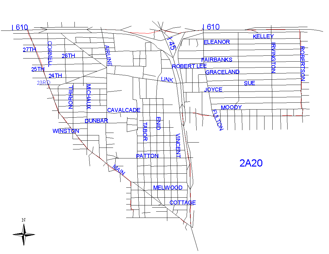
Click on map for larger, more detailed image
Beat Description and Boundary:
The boundary begins at the intersection of North Main and the 610 Loop North and goes east on the south feeder road of the 610 Loop to Robertson. The Loop is in the jurisdiction of District 3. It turns south at Robertson and goes along the east lot lines of Robertson to Cavalcade. At Calvacade, the boundary turns west along the lot lines on the south side of Cavalcade to I-45. It turns south on I-45 to the intersection with North Main. I-45 is the responsibility of 2A10. The boundary goes northwest on the southwest lot lines of North Main about one block to Pecore and turns west along the south lot lines of Pecore. It continues west on Pecore to Bruce. It takes Bruce north along the west lot lines and continues north on the west lot lines of Moss to North Main. It follows the southwest lot lines of North Main to the 610 Loop where it begins.
Landmarks and Neighborhoods Within This Beat:
Sunset Heights, Brooksmith, Stude
ZIP Codes Within This Beat (see note below on ZIP codes and beats):
77009