
 > Police >
POLICE Department
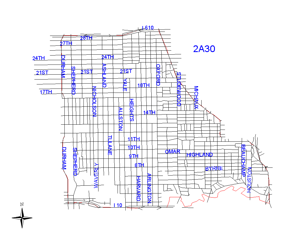
Crime Statistics for 2A30's Beat
Click on map for larger, more detailed image
Beat Description and Boundary:
The boundary begins at the intersection of 610 Loop North and North Durham and goes east along the south feeder road of the Loop to North Main. The Loop is the responsibility of District 3. The boundary turns southeast along the southwest lot lines of North Main to Moss. It turns south along the west lot lines of Moss to Bruce and continues south along the west lot lines of Bruce to Pecore. It turns east along the south lot lines of Pecore to the intersection of North Main and Pecore, and continues southeast along the southwest lot lines of North Main again to the intersection of North Main and I-45. the boundary turns south on I-45 to the intersection with the White Oak Bayou and follows the middle of the White oak Bayou of it's intersection with I-10 (Katy Freeway). It follows I-10 west to the intersection with North D urham. I-10 is the responsibility of 2A30. It turns north on the east property lines of North Durham to its intersection with the 610 Loop North, which is where is begins. Durham is the responsibiity of 3B20 from the intersection of the 610 Loop to the intersection of Durham and the M.K.T.R.R. railroad. From the railroad to I-10 Durham is the responsibility of 2A30.
Landmarks and Neighborhoods Within This Beat:
Houston Heights, Norhill, Studemont
ZIP Codes Within This Beat (see note below on ZIP codes and beats):
77007
77008
77009