
 > Police >
POLICE Department
Crime Statistics for 8C50's Beat
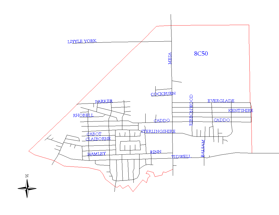
Click on map for larger, more detailed image
Beat Description and Boundary:
The boundary begins at the point about one-fourth mile west of Mesa Drive where the MPRR railroad leaves the Houston city limits going northeast. From this point, the beat boundary follows the Houston city limits east about a quarter mile. The boundaries turn south and go about two miles to Tidwell. The beat boundary turns east along the south lot lines of Tidwell and goes to FM 527 (also called East Houston and Mesa Drive.) It turns south along the west lot lines of FM 527 about a quarter mile to Halls Bayou. The beat boundary follows Halls Bayou west until it crosses the MPRR railroad. It goes northeast on the railroad tracks to the Houston city limits turn east at Mount Houston, which is where the boundary begins.
Landmarks and Neighborhoods Within This Beat:
Park North, Forest Green, Kentshire Place, Glenwood Forest, Dorchester
ZIP Codes Within This Beat (see note below on ZIP codes and beats):
77016
77028
77078