Planning Houston’s Story

Planning & Development Department

In many ways, the story of the Planning and Development Department is the story of Houston – who we are, how we grow, what our challenges are, and what our future holds.

This Annual Report for the Department shares with the Houston community the Department’s achievements during 2015. With this report, we hope to convey the valuable role that planning continues to play in shaping Houston’s story – and setting up Houston for a vibrant future.

This year, the Planning and Development Department achieved one of its greatest accomplishments with the adoption of Plan Houston, Houston’s first-ever general plan. Through an accelerated 14-month process, the Department worked with the community, planning organizations, the development community, elected officials and numerous other stakeholders to craft a plan that established a vision, community goals, and core strategies to realize those goals. City Council adopted Plan Houston in September 2015.

Plan Houston


At its core, Plan Houston is a framework for sound planning and policy making. It provides consensus on the broad principles that should guide all of the City’s efforts. The Plan includes a vision and goals for the community and 12 Core Strategies that describe the City-led actions needed to further the goals of the community.

During the process to adopt the Plan, the Department was clear that Plan Houston’s implementation required converting the high-level principles of the Plan into specific, actionable projects for near-term pursuit. The development of these projects is now underway. Throughout late 2015, the Department coordinated with every City department to develop a draft work plan of projects to employ Plan Houston’s Core Strategies.

Other components of Plan Houston’s implementation are already in place. As part of Plan Houston, the Department published an online Planning Coordination Tool that displays the many public, non-profit, and neighborhood plans affecting all areas of Houston. The tool allows users to search for plans relating to a property or local area of interest. By creating a common understanding of the planning that has occurred in any area, this tool increases the opportunity to implement these plans – by government agencies, neighborhood groups, or the development community. The Department will continue enhancing this tool in 2016.

The final implementation component is community performance indicators. For the first time, the City is looking past the performance of the City organization, and is broadly measuring the impacts as seen in the community itself. Plan Houston identified 112 performance indicators, ranging from issues as wide as income, educational attainment, community health, and public safety. These indicators set up the potential for sustained long-term performance monitoring and the setting of performance targets, which can inform policy-making.

Plan Houston creates a strategic framework for the City to be a more effective organization and enables a path to a thriving, more successful Houston.


Planning CommissionDirector Patrick Walsh highlights the vision statement from Plan Houston

PEOPLE

org chart


Who we are
Houston has recently been identified as one of the most ethnically diverse cities in America and has a younger population than many cities. The Planning and Development Department leads the City’s efforts to understand our demographics.

The Planning and Development Department uses Census and related data to offer a look at who makes up our city and how that compares to other cities. The Houston area is currently undergoing enormous demographic changes related to population, income, education, language, housing, and related characteristics. The Department analyzes these changes and trends, and compares them to other cities and the nation at large. It produces data and reports that inform and educate the community in order to make sound decisions for Houston’s future.

In 2015, the Department published How We Compare, with data comparing Houston to America’s ten most populous cities.

Throughout the year, the Department published nearly 20 other data charts that included plat activity comparisons, permit activity comparisons, travel time to work, top employment sections, and demographics of Millennials versus Boomers.

GROWTH


As of December 2015, the City of Houston’s population was 2.23 million with a land mass of over 675 square miles.

Developing our growing city
The City grows and redevelops through the approval of plats and replats in accordance with the City’s land development ordinance, Chapter 42. Planning and Development Department staff reviews all development submittals for compliance with Chapter 42 as well as other ordinances such as parking (Chapter 26) and trees and shrubs (Chapter 33). The Department makes recommendations on many of these submittals to the Planning Commission.

In 2015, the Department continued to see historically high development activity levels that were fairly consistent with the previous year. There was a slight drop in subdivision platting, but development plats and site plan review remained relatively level.

Planners and developers review plats


SubdivisionPlats

Recorded Plats

Site Plans Reviewed

Development Plats


This year, in addition to the standard review process, the Department managed a Planning Commission effort to make improvements to Chapter 42 and related development codes. These changes improved criteria for performance standards in subdivision developments, shared lot driveway developments, the special minimum lot size and building line program and screening and/or placement of utility meters, group mailboxes and trash cans.

Planning CommissionTop row, pictured left to right: Fernando Brave, Shafik Rifaat, Shaukat Zakaria, Truman Edminster, Raymond Anderson, Antoine Bryant, Planning Director Patrick Walsh, Paul Nelson, Jim Jard, Vice Chair Sonny Garza, and Patricio Sanchez. Bottom row, pictured left to right: Marty Stein, Linda Porras-Pirtle, Susan Alleman, Chair Mark Kilkenny, Eileen Subinsky, Lisa Clark, Algenita Davis. Not pictured are: Kenneth Bohan and Mark Sikes.

Changes to our boundaries
Various political subdivisions within the City of Houston are constantly evolving, and the Planning and Development Department helps manage boundary changes within the City limits and in the City’s extraterritorial jurisdiction (ETJ). These boundary changes affect organizations such as management districts and municipal utility districts.

One example of these changes is through annexation. In 2015, Houston’s city limits grew through one general purpose annexation via the petition of a property owner and 4 limited purpose annexations that accompany strategic partnership agreements with area utility districts.

MOBILITY

Complete Streets


The Planning and Development Department leads the City’s “systems-level” mobility planning. This function includes management of the City’s Complete Streets and Transportation Plan, Major Thoroughfare and Freeway Plan, Bicycle Master Plan, rail-related planning, local area studies, and external transportation funding efforts. The Department also supports other departments, including the Department of Public Works and Engineering, as projects are developed at the corridor level for specific capital improvements. In this way, the City has a seamless process for mobility improvements from planning through implementation.

Major Thoroughfare and Freeway Plan
The Planning Department is responsible for maintaining the City’s Major Thoroughfare and Freeway Plan (MTFP). The MTFP identifies the required right-of-way and street hierarchy designation (local, collector, thoroughfare, or transit corridor) for each street in Houston.

In 2015, the Department led the review of 136 amendments to the MTFP, many of which were the result of recommendations from mobility studies. These studies include the Heights/Northside Study, the Northwest Study and the Inner West Loop Study. The remaining amendments were the result of applications from external organizations. These amendments were processed through the Planning Commission and Houston’s City Council.

Local Area Mobility Studies
This year, the Department participated with communities in the following studies where transportation issues were examined:

  • Fifth Ward/Buffalo Bayou/East End Livable Centers Study (completed)
  • Museum Park Livable Centers Study (ongoing)
  • Greenway Plaza Pedestrian Bicycle Special District Study (ongoing)
  • Greater Fifth Ward/Kashmere Gardens Livable Center Study
  • Hobby Area Livable Centers Study
  • 249 Access Management Study


Making Houston more bike friendly

In 2015, the Department along with Public Works and Engineering, BikeHouston, Houston Parks Board, Houston-Galveston Area Council, FTA, FHWA, and TxDOT kicked off efforts to update the City’s Bicycle Master Plan. This Plan was last updated in 1993, and much has changed in 22 years, from the level of interest and support for bicycling, to updated infrastructure standards, to an increasingly dense city. The time was right to create a new vision for how to make Houston a great place for anyone who wants to ride a bicycle.

This year-long process will identify ways to help make Houston a safer, healthier, more bike-friendly city for the growing number of people riding bikes.

In order to create the plan, a significant amount of public engagement was done . The City and its partners sought input at over 70 community meetings and events. The project received over 1,000 public comments and nearly 3,000 online surveys were completed.

During 2015, the Department released results from the first phase of the project, which included a vision and goals for cycling in Houston. The vision and goals are below. The plan is expected to be completed in mid-2016, and will be followed by efforts toward implementation.

Barriers to More People Riding Bikes in Houston

Why People Ride a Bike

By 2026, the City of Houston will be a Safer, More Accessible, Gold Level Bike-Friendly City

  • Improve Safety – To provide a safer bicycle network for people of all ages and abilities through improved facilities, education, and enforcement
  • Increase Access – To create a highly accessible, citywide network of comfortable bike facilities that connects neighborhoods to transit, jobs, and activity centers, including schools, universities, parks, and libraries
  • Increase Ridership – To exceed average ridership levels in peer cities by implementing policies and programs that enable more people to ride bicycles and encourage healthy, active transportation choices
  • Facilities – To develop and sustain a high-quality bicycle network, including both bikeways and end-of-trip facilities

Bike to Work Day

COMMUNITY


The Planning and Development Department plays a significant role in supporting Houston’s neighborhoods.

Helping Houston maintain strong neighborhoods
The Department helps communities maintain the character of their area through the Minimum Lot Size/Building Line Program and the Prohibited Yard Parking Program. Both programs require applications initiated by the local community.

Lindale Park communityLindale Park community members Gwyn Guidy and Virginia Duke

The Minimum Lot Size Program establishes the square footage of lots within a specific area, below which a lot cannot be subdivided. The opt-in protection helps neighbors maintain a more “traditional” single family style of neighborhood. The Minimum Building Line works similarly by establishing a setback to which any future development must adhere. The total number of protected properties for the Minimum Lot Size Program is 15,900 while the number for the Minimum Building Line program is 3,200.

SMLS ApplicationsSMLS Applications

Application Reviews ~ 2015

  • 66 Minimum lot size block applications
  • 6 Minimum lot size area applications
  • 8 Minimum building line applications


Another tool available to communities is the Prohibited Yard Parking Program (PYP) which allows property owners to establish an area where the parking of vehicles on front or side yards is prohibited.

In 2015, the Department reviewed and processed 12 PYP applications through City Council. There are now 176 designated PYP areas in Houston.

The NUSA Conference

As part of its leadership in supporting neighborhoods, the Planning and Development Department shared its knowledge with people from across the county as we hosted the Neighborhoods USA Conference (NUSA). The three-day event in May of 2015 brought more than 1,000 community and civic leaders together to network, share stories and learn innovative ways to support their neighborhoods. The conference theme, Passion into Action, was visible throughout the event and especially during the keynote presentations of Angela Blanchard, President and CEO of Neighborhood Centers Inc. and Kirbyjon H. Caldwell, Senior Pastor of Windsor Village United Methodist Church. Conferees also toured some of Houston’s distinctive communities.

NUSA

HISTORY


Preserving Houston's history
The story of Houston is not complete without knowledge of its history. Houston’s past is kept alive through its historical assets and neighborhoods of which the Department and the Houston Archaeological and Historical Commission (HAHC) are a steward. The Historic Preservation Ordinance governs the City’s 22 historic districts and its 282 landmarks and 115 protected landmarks. Any new construction, demolition or alterations to structures in historic districts and historic landmarks require a certificate of appropriateness (COA).

Lindale Park communityHistoric Districts, Landmarks & Protected Landmarks


Historic Landmarks


2015 HAHC/staff review

  • 363 certificates of appropriateness applications reviewed
  • 11 historic landmark applications and 6 protected historic landmark applications reviewed


In 2015, the Department led a substantial update to the City’s Historic Preservation Ordinance. The update clarified and refined items in the ordinance, including an expanded option for faster administrative approvals, a process to create design guidelines for districts created before 2010, creation of an appeals board, clarifying the COA criteria for projects and increasing the ability for projects to receive tax incentives to restore designated historic properties. This update was guided by a Historic Preservation Ordinance Review Committee which included three Historical Commissioners and two Planning Commissioners. The transparent and inclusive process, included 13 public meetings with discussion. The meetings streamed online and all supporting documentation was placed on the City’s website.

Planning CommissionStanding from left to right: Debbie McNulty, Vice Chairman Rob Hellyer, John Cosgrove, Charles Stava and David Bucek. Seated from left to right: Jorge Garcia-Herreros; Anna Mod; and Chairman Maverick Welsh, III; Ann Collum and Planning Director Pat Walsh. Not pictured: Edie Archer, Romulo Tim Cisneros, Doug Elliott and Kerry Goelzer.

ROADMAP


The ability to analyze and show data by specific geographic areas provides both citizens and the City a powerful tool. The City maintains an extensive array of mapped information and provides citizens the ability to learn about locations of interest. This data is displayed on My City, the City’s primary Geographic Information Systems (GIS) site.

The Department maintains and updates My City. In addition to showing boundary information for the City, its extraterritorial jurisdiction and council districts, My City also includes city facilities, special districts, utility infrastructure, crime data, and much more.

As part of Plan Houston, the City now provides information about all the plans that are available by geographic location. In 2015, the Department’s mapping staff completed the following tasks:

  • Generated 1,497 addresses and 5,158 new roads in the systems
  • Completed more than 600 map and data requests
  • Taught 15 Professional GIS classes
  • Senior GIS Analyst, Sona Sunny’s, map: “Single Family Residential Housing Changes - City of Houston,” was selected for publication in the ESRI Map Book, Volume 31.


Planning Commission
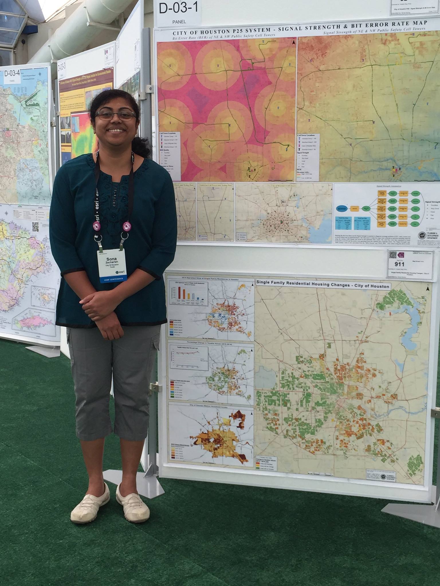
Senior GIS Anaylist, Sona Sunny, whose map: “Single Family Residential Housing Changes - City of Houston,” was selected for publication in Esri Map Book, Volume 31

About Us


GIS StaffPlanning and Development Department

The Department has 90 employees.
The budget for the department is $10 million.

org chart

P&D logo
832.393.6600