
 > Police >
POLICE Department
Crime Statistics for 11H20's Beat
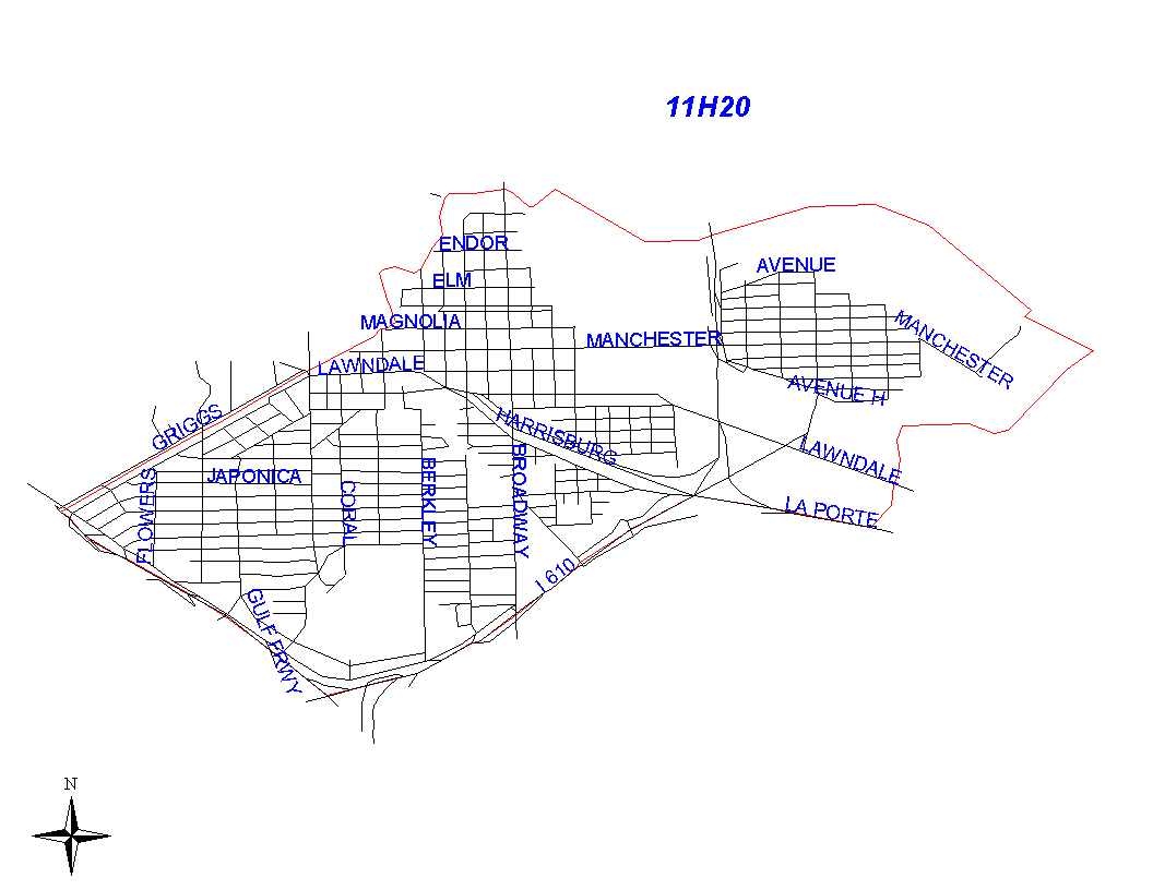
Click on map for larger, more detailed image
Beat Description and Boundary:
The boundary begins at the intersection of the Houston Ship Channel and Brays Bayou. It goes east along the middle of the Houston Ship Channel to Sims Bayou. The boundary follows Sims Bayou as it travels under the La Porte Freeway. As the bayou and freeway separate, the boundary follows the La Porte Freeway to the inersection of the South Loop East. It follows the South Loop East to the Gulf Freeway (I-45.) The La Porte Freeway, South Loop East, Gulf Freeway, and their respective feeder roads will be the responsibility of 11H20. The boundary follows the Gulf Freeway north to the intersection with the HB&T railroad tracks. It then turns east and follows the HB&T railroad tracks that parallel Griggs Road. At the intersection of the HB&T railroad tracks Brays Bayou, the boundary follows Brays Bayou as it winds its way back to the Houston Ship Channel.
Landmarks and Neighborhoods Within This Beat:
Harrisburg, Manchester, Pecan Park
ZIP Codes Within This Beat (see note below on ZIP codes and beats):
77012
77017
77023
77029
77087
77547