
 > Police >
POLICE Department
Crime Statistics for 13D40's Beat
Click on map for larger, more detailed image
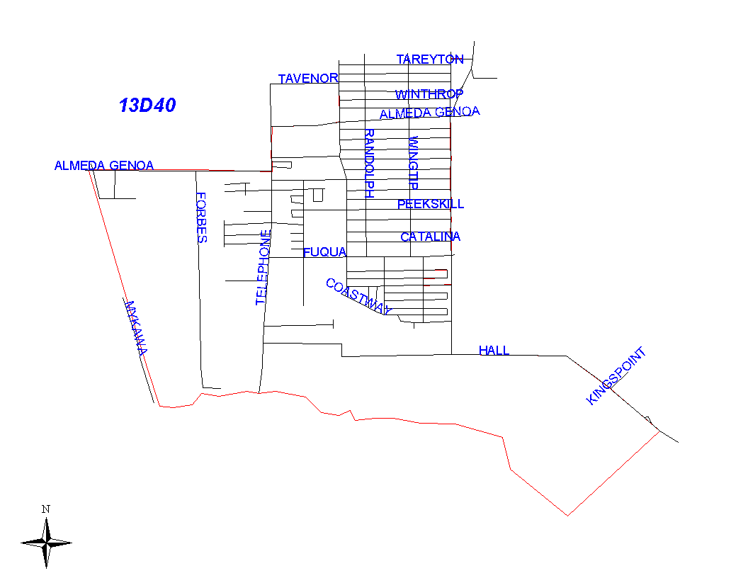
Beat Description and Boundary:
The boundary begins at the intersections of A.T.S.F. Railroad and Almeda-Genoa and goes east to Telephone Road. It turns north on Telephone Road until it intersects with Almeda-Genoa again and continues east on Almeda-Genoa to Ballentine. It turns north on Ballentine to Tareyton, then east on Tareyton to Cub Street, north on Cub to Jet Pilot, and east on Tareyton, then east on Jet Pilot to West Monroe Road. The boundary turns south on West Monroe Road and curves southwest to Monroe Road where it continues to Hall Road. It turns east on Hall Road and continues to follow Hall Road when it turns southeast to the Houston City Limits. It follows the Houston City Limits southwest to Clear Creek and continues to follow the city limits along the creek to A.T.S.F. Railroad. The boundary turns north on A.T.S.F. Railroad and continues to the intersection with Almeda-Genoa where it begins. All of the streets that are part of the boundary of 13D40 are the responsibility of 13D40.
Landmarks and Neighborhoods Within This Beat:
Val Verde East, Gulf Meadows, Houston Skyscraper Shadows
ZIP Codes Within This Beat (see note below on ZIP codes and beats):
77075
77089
77581