
 > Police >
POLICE Department
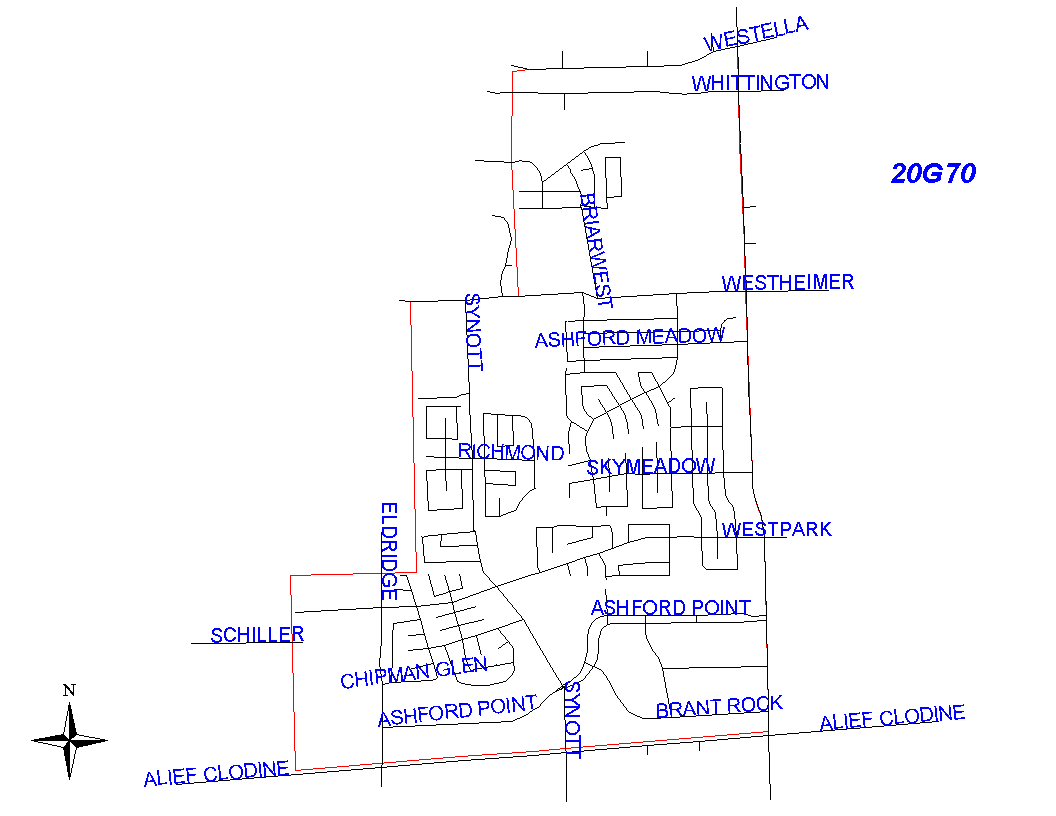
Crime Statistics for 20G70's Beat
Click on map for larger, more detailed image
Beat Description and Boundary:
The boundary begins at the Houston City Limits and West Ella. It goes east on the south side of West Ella to Dairy Ashford. It turns south along the west lot lines of Dairy Ashford and goes to the SPRR railroad. The boundary turns west along the railroad tracks and goes to the city limits. It follows the city limits north to West Ella, which is where it begins.
In addition, 20G70 has responsibility for the area around the West Oaks Mall that is within the Houston city limits. It also has responsibility for the Barker Reservoir with the exception of the corner north of Buffalo Bayou and east of Obrien Road. Obrien Road is the responsibility of 20G60.
Landmarks and Neighborhoods Within This Beat:
Westpark Village, Ashford Point
ZIP Codes Within This Beat (see note below on ZIP codes and beats):
77077
77082