
 > Police >
POLICE Department
Crime Statistics for 20G80's Beat
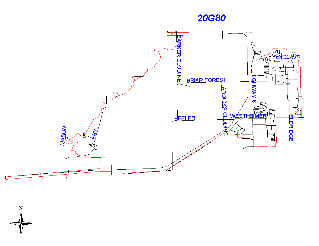
Click on map for larger, more detailed image
Beat Description and Boundary:
The boundary begins at the Houston City Limits just south of 16350 Katy Freeway. The city limits travel west to approximately 17800 Katy Freeway, just west of Barker Cypress Road. They city limits then turn south one block to Cypress Chase Road. The city limits then turn east following Cypress Chase Road to Houston Chronicle Boulevard. From this point, the beat boundary follows the city limits west/southwest to the intersection of Baker Road and Kessington. It continues west/southwest following the city limits across Westheimer to Buffalo Bayou, south from Buffalo Bayou about three quarters of a mile, then east, then south to Barker Dam. It then travels east three quarters of a mile, then turns south the the Southern Pacific railroad, which it follows east to FM 1093 and northeast to South Richmond Road. One block northeast of South Richmond Road, the city limits travel east one half mile, then south to Branch Forest. They follow Branch Forest east to Highway 6, Highway 6 south to Westpark, east on Westpark to Westhollow, north on Westhollow to Naomi, east then north again to Jewel Ann, north on Jewel Ann across Richmond Avenue, continuing north north on Panagard to Westheimer Beeler. It follows the city limits east on Westheimer Beeler to Rolk, north on Rolk, east on Wichersham, north just north of Rincon, then due north to the intersection of Sandbridge Drive and Eldridge Parkway. The boundary then follows Enclave Parkway north to the northern border of Terry Hershey Park and continues to follow the Park's border north and west to the city limit line just north of Peach-Wood Bend. It follows the city limits south to Enclave Parkway, then west to 13700 Stokes Mount. It turns south and follows the city limits to Briar Forest, then west on Briar Forest to Highway 6, north on Highway 6 to a point just north of West Way Lane, east to Forest Home, north on Forest Home to a point just south of Briarhills Parkway, then west along Briarhills Parkway to the east side of Highway 6, south along Highway 6 to the 1300 Block of Highway 6, then north on the west side of Highway 6 to a point just south of Grisby Road. It follows Barker Dam west to 16300 Katy Freeway, where the boundary began.
Landmarks and Neighborhoods Within This Beat:
City Limits
ZIP Codes Within This Beat (see note below on ZIP codes and beats):
77077
77079
77082
77094
77450
77494