
 > Police >
POLICE Department
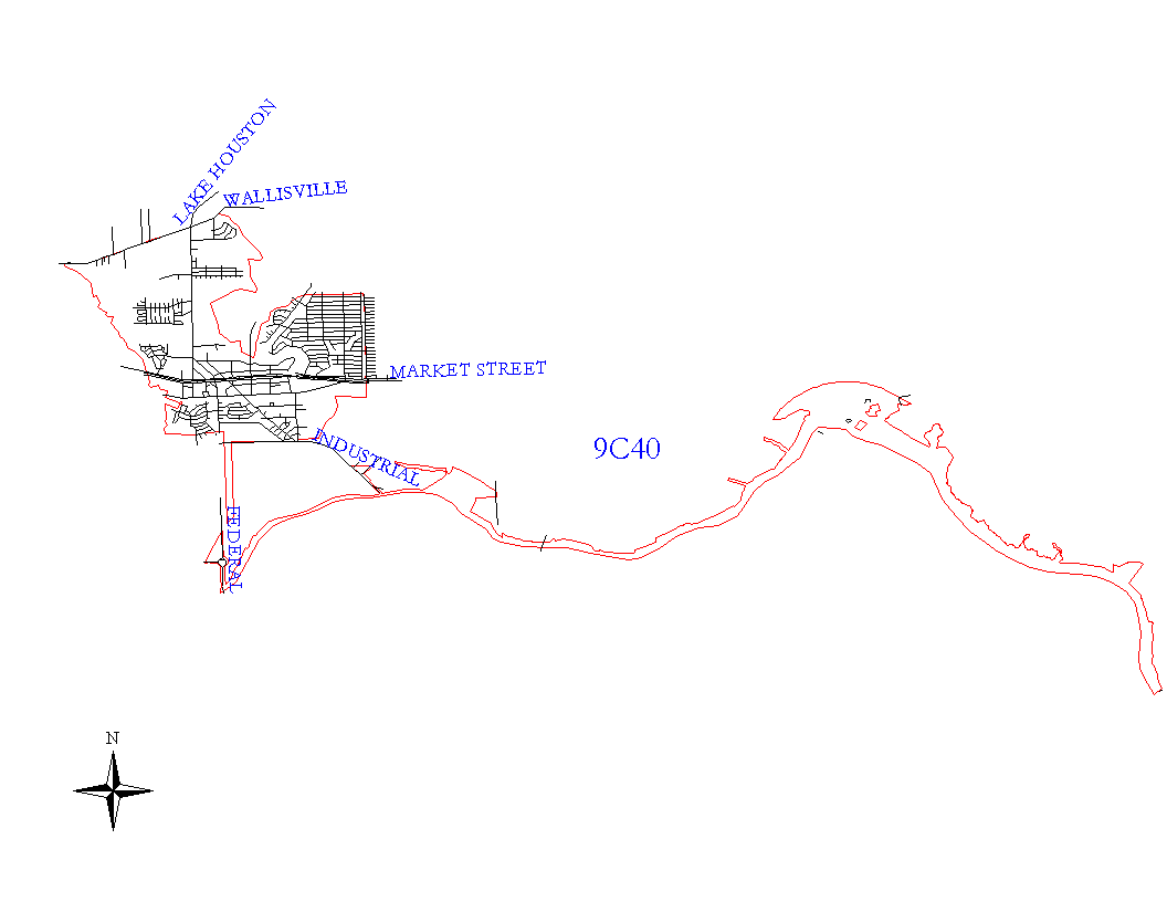
Crime Statistics for 9C40's Beat
Click on map for larger, more detailed image
Beat Description and Boundary:
The boundary begins at the intersection of Hunting Bayou and Wallisville Road and goes east along the south lot lines of Wallisville Road to the Houston city limits at Greens Bayou. The boundary follows the city limits along the bayou south, east, and north, again to West Canal Road. It continues to follow the city limits along East Hollypark to Evanston, then south along Evanston to the MPRR railroad tracks about one-fourth mile south of the East Freeway, then west along MPRR railroad to Greens Bayou. They turn south along Greens Bayou to Industrial. The beat boundary follows the city limits along Industrial for about one mile and then they both turn south to the Houston Ship Channel. They go about one-fourth mile along the Ship Channel to the city limits of Houston and Galena. The beat boundary follows the city limits north and east to Hunting Bayou. The beat boundary follows Hunting Bayou north to Wallisville Road, which is where it begins.
9C40 also has the responsibility for the areas east along the Ship Channel that are in the Houston city limits.
Landmarks and Neighborhoods Within This Beat:
Greens Bayou Estates, Shady Brook, Northshore
ZIP Codes Within This Beat (see note below on ZIP codes and beats):
77012
77013
77015
77017
77029
77503
77506
77520
77530
77536
77547
77571